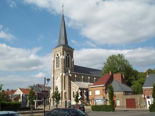
Since the end of September 2016, volunteers are mapping the air quality in Kampenhout. Measurements are performed with airQmap on different routes in Kampenhout. The measurements are used to map the exposure of cyclists to Black Carbon. The measurement routes include rural roads, busy regional roads, forest trails and roads near school environments.
Stefan Vandevenne, councilor for environment in Kampenhout: “The air quality is mapped to improve the livability and attractiveness of our municipality. The results will give us insight in local air quality and help us with to develop a global air quality plan for our municipality. In 2015, Kampenhout has been nominated as cycling-municipality. We work hard to to keep the status of cycling-municipality. The results of this study can help with this. For the further expansion of our regional tourism, we can propose the most healthy biking routes”.

